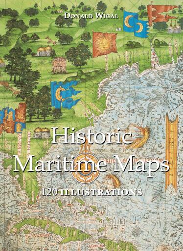
Historic Maritime Maps 120 illustrations
Published by Parkstone International
English
2022
ISBN 9781781608555
eBook
Buy at Ebooks Librería Antártica
🇨🇱
 Bajalibros Argentina
🇦🇷
Visit store →
Bajalibros Argentina
🇦🇷
Visit store →
 Bajalibros Latam
🇺🇸
Visit store →
Bajalibros Latam
🇺🇸
Visit store →
 Bookshop Uruguay
🇺🇾
Visit store →
Bookshop Uruguay
🇺🇾
Visit store →
 Crisol Ebooks
🇵🇪
Visit store →
Crisol Ebooks
🇵🇪
Visit store →
 ebooks Libreria del GAM
🇨🇱
Visit store →
ebooks Libreria del GAM
🇨🇱
Visit store →
Available at 8 bookshops
About this book
In the Middle Ages, navigation relied upon a delicate balance between art and science. Whilst respecting the customs and the precautions of their forbearers, sailors had to count on their knowledge of the stars, the winds, the currents, and even of migratory flights. They also used hand-painted maps, which, although certainly summary, were marvellously well-drawn. In following the saga of old sailors, from Eric Le Rouge to Robert Peary, Donald Wigal leads us in discovering the New World. This magnificent overview of maps dating from the 10th to the 18th centuries, often 'primitive' and sometimes difficult to understand, retraces the progress of cartography and shows the incredible courage of men who endeavoured to conquer the seas with tools whose geographical accuracy often left much to be desired.
Availability
Historic Maritime Maps 120 illustrations is available as eBook at 8 online bookshops. Bookshops carrying it include Bajalibros Argentina, Bajalibros Latam, Bookshop Uruguay.
Genres
- Language
- English
Share
Frequently asked questions
- In what formats is Historic Maritime Maps 120 illustrations available?
- Historic Maritime Maps 120 illustrations is available as eBook at 8 online bookshops.
- Where can I buy Historic Maritime Maps 120 illustrations?
- You can buy Historic Maritime Maps 120 illustrations at Bajalibros Argentina, Bajalibros Latam, Bookshop Uruguay. Compare every option in the list on this page.
Ratings & reviews
No ratings yet. Be the first to review this book.
Sign in to rate and review this book.