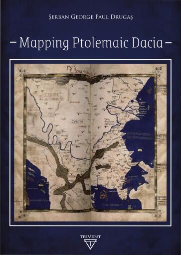
Mapping Ptolemaic Dacia
Par Drugas, Serban George Paul
Publié par Trivent Publishing
English
254 pages
2020
ISBN 9786158168991
PDF
Buy at Bajalibros Latam
🇺🇸
 Bajalibros Latam
🇺🇸
Visiter la boutique →
Bajalibros Latam
🇺🇸
Visiter la boutique →
 LORANCHBOOKSTORE
🇺🇸
Visiter la boutique →
LORANCHBOOKSTORE
🇺🇸
Visiter la boutique →
 Ebooks Librería Carlos Fuentes
🇲🇽
Visiter la boutique →
Ebooks Librería Carlos Fuentes
🇲🇽
Visiter la boutique →
 ebooks libreria española
🇪🇨
Visiter la boutique →
ebooks libreria española
🇪🇨
Visiter la boutique →
 Bajalibros Argentina
🇦🇷
Visiter la boutique →
Bajalibros Argentina
🇦🇷
Visiter la boutique →
 Alpha Books
🇨🇴
Visiter la boutique →
Alpha Books
🇨🇴
Visiter la boutique →
 Sanborns Ebooks
🇲🇽
Visiter la boutique →
Sanborns Ebooks
🇲🇽
Visiter la boutique →
 ebooks Libreria del GAM
🇨🇱
Visiter la boutique →
ebooks Libreria del GAM
🇨🇱
Visiter la boutique →
 Bookshop Uruguay
🇺🇾
Visiter la boutique →
Bookshop Uruguay
🇺🇾
Visiter la boutique →
 Ebooks Yenny - El Ateneo
🇦🇷
Visiter la boutique →
Ebooks Yenny - El Ateneo
🇦🇷
Visiter la boutique →
 Crisol Ebooks
🇵🇪
Visiter la boutique →
Crisol Ebooks
🇵🇪
Visiter la boutique →
Disponible dans 11 librairies
À propos de ce livre
This volume is a contribution to the decipherment of Ptolemy's universal map, with focus on the territory known as Dacia. The information provided by Ptolemy was translated into modern data considering local features and complying with certain general principles. The difficulty of this task consisted in the way the ancient manuscripts transmitted the original location coordinates, as well as in the way Ptolemy patched together information from ancient itineraries and other sources. The author of this volume conceived a general formula for mapping Dacia based on the information found in the two oldest sources he used. Furthermore, he determined local patterns with the help of the other sources - therefore, defining locations resulted in a better determination of the surrounding relative positions. This information, as well as the correlation of the Ptolemaic locations with archaeological findings, provides an increased recognition of Ptolemaic Dacia, while also contributing to exposing the Ptolemaic universal map.
- Langue
- English
Partager
Vous aimerez aussi

History of the Phoenician Civilization
Rawlinson, George

Legenden aus der Griechischen Mythologie (Der Trojanische Krieg + Odysseus + Achilleus + Herakles und viel mehr)
Becker, Karl Friedrich

The Provinces of the Roman Empire
Mommsen, Theodor
Sargonic Texts from Telloh in the Istanbul Archaeological Museums, Part 2
Foster, Benjamin R.
Weights and Measures as a Window on Ancient Near Eastern Societies