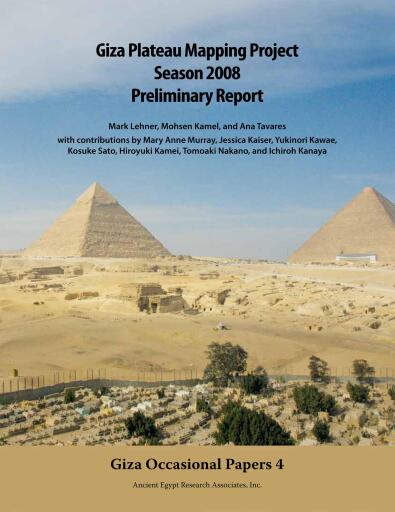
Giza Plateau Mapping Project
Di Kamel, Mohsen, Lehner, Mark, Tavares, Ana
Pubblicato da Ancient Egypt Research Associates
Disponibile in 13 librerie
Informazioni su questo libro
Disponibilità
Giza Plateau Mapping Project è disponibile come PDF in 13 librerie online. Tra le librerie che lo vendono ci sono Alpha Books, Bajalibros Argentina, Bajalibros Latam.
Categorie
- Lingua
- English
Domande frequenti
- In quali formati è disponibile Giza Plateau Mapping Project?
- Giza Plateau Mapping Project è disponibile come PDF in 13 librerie online.
- Dove posso comprare Giza Plateau Mapping Project?
- Puoi comprare Giza Plateau Mapping Project su Alpha Books, Bajalibros Argentina, Bajalibros Latam. Confronta tutte le opzioni nell’elenco di questa pagina.
- Quanto tempo ci vuole per leggere Giza Plateau Mapping Project?
- A un ritmo di lettura medio, Giza Plateau Mapping Project si legge in circa 1 h 31 min (83 pagine).
Valutazioni e recensioni
Ancora nessuna valutazione. Sii il primo a recensire questo libro.
Accedi per valutare e recensire questo libro.