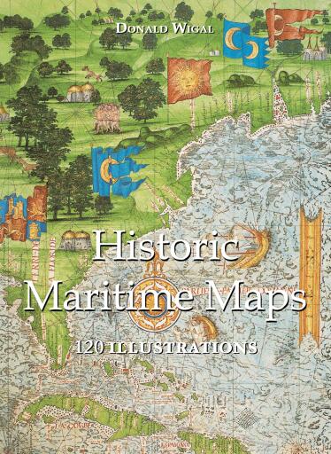
Historic Maritime Maps 120 illustrations
Pubblicato da Parkstone International
Disponibile in 8 librerie
Informazioni su questo libro
Disponibilità
Historic Maritime Maps 120 illustrations è disponibile come eBook in 8 librerie online. Tra le librerie che lo vendono ci sono Bajalibros Argentina, Bajalibros Latam, Bookshop Uruguay.
Categorie
- Lingua
- English
Domande frequenti
- In quali formati è disponibile Historic Maritime Maps 120 illustrations?
- Historic Maritime Maps 120 illustrations è disponibile come eBook in 8 librerie online.
- Dove posso comprare Historic Maritime Maps 120 illustrations?
- Puoi comprare Historic Maritime Maps 120 illustrations su Bajalibros Argentina, Bajalibros Latam, Bookshop Uruguay. Confronta tutte le opzioni nell’elenco di questa pagina.
Valutazioni e recensioni
Ancora nessuna valutazione. Sii il primo a recensire questo libro.
Accedi per valutare e recensire questo libro.
Potrebbe piacerti anche

Sea-Power and Other Studies
Bridge, Cyprian, Sir

The Navy in Newport
Wyld, Lionel D.

Germany's High Seas Fleet in the World War
Scheer, Reinhard

The Crisis of the Naval War: British Royal Navy in World War I
Jellicoe, John Rushworth
Foran for masten
Bang, Kaj Nolsøe
Knickerbocker Commodore
Castleman, Bruce A.