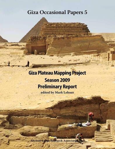
Giza Plateau Mapping Project
Herausgegeben von Ancient Egypt Research Associates
English
283 Seiten
2011
ISBN 9781733197045
Geschätzte Lesezeit: 5 Std. 11 Min.
PDF
Buy at ebooks libreria española
🇪🇨
 Alpha Books
🇨🇴
Shop besuchen →
Alpha Books
🇨🇴
Shop besuchen →
 Bajalibros Argentina
🇦🇷
Shop besuchen →
Bajalibros Argentina
🇦🇷
Shop besuchen →
 Bajalibros Latam
🇺🇸
Shop besuchen →
Bajalibros Latam
🇺🇸
Shop besuchen →
 Bookshop Uruguay
🇺🇾
Shop besuchen →
Bookshop Uruguay
🇺🇾
Shop besuchen →
 Crisol Ebooks
🇵🇪
Shop besuchen →
Crisol Ebooks
🇵🇪
Shop besuchen →
Verfügbar in 13 Buchhandlungen
Über dieses Buch
During 2009, the Giza Plateau Mapping Project carried out excavations at two sites as part of its ongoing research program: 1) the settlement connected to the Khentkawes Monument on the Giza Plateau and 2) the nearby town, Heit el-Ghurab (aka Lost City of the Pyramids). The 2009 work yielded some important discoveries such as evidence that the 4th Dynasty Khentkawes Town was in fact occupied into the 5th Dynasty with reoccupation later, probably in the 6th Dynasty. The major discovery was the remains of a previously unknown valley complex off the east end of the Khentkawes Town made up of corridors, ramps, and stairs descending into a depression that may prove to be a harbor. This collection of papers by archaeologists and specialists details the results of the excavations and additional work carried out in 2009. The book is well illustrated with abundant maps and photographs, along with large foldout maps and isometric drawings.
Verfügbarkeit
Giza Plateau Mapping Project ist als PDF in 13 Online-Buchhandlungen erhältlich. Zu den Buchhandlungen, die es führen, gehören Alpha Books, Bajalibros Argentina, Bajalibros Latam.
Kategorien
- Sprache
- English
Teilen
Häufige Fragen
- In welchen Formaten ist Giza Plateau Mapping Project erhältlich?
- Giza Plateau Mapping Project ist als PDF in 13 Online-Buchhandlungen erhältlich.
- Wo kann ich Giza Plateau Mapping Project kaufen?
- Du kannst Giza Plateau Mapping Project bei Alpha Books, Bajalibros Argentina, Bajalibros Latam kaufen. Vergleiche alle Optionen in der Liste auf dieser Seite.
- Wie lange dauert es, Giza Plateau Mapping Project zu lesen?
- Bei durchschnittlichem Lesetempo dauert Giza Plateau Mapping Project etwa 5 Std. 11 Min. (283 Seiten).
Bewertungen und Rezensionen
Noch keine Bewertungen. Sei der Erste, der dieses Buch rezensiert.
Anmelden um dieses Buch zu bewerten und zu rezensieren.